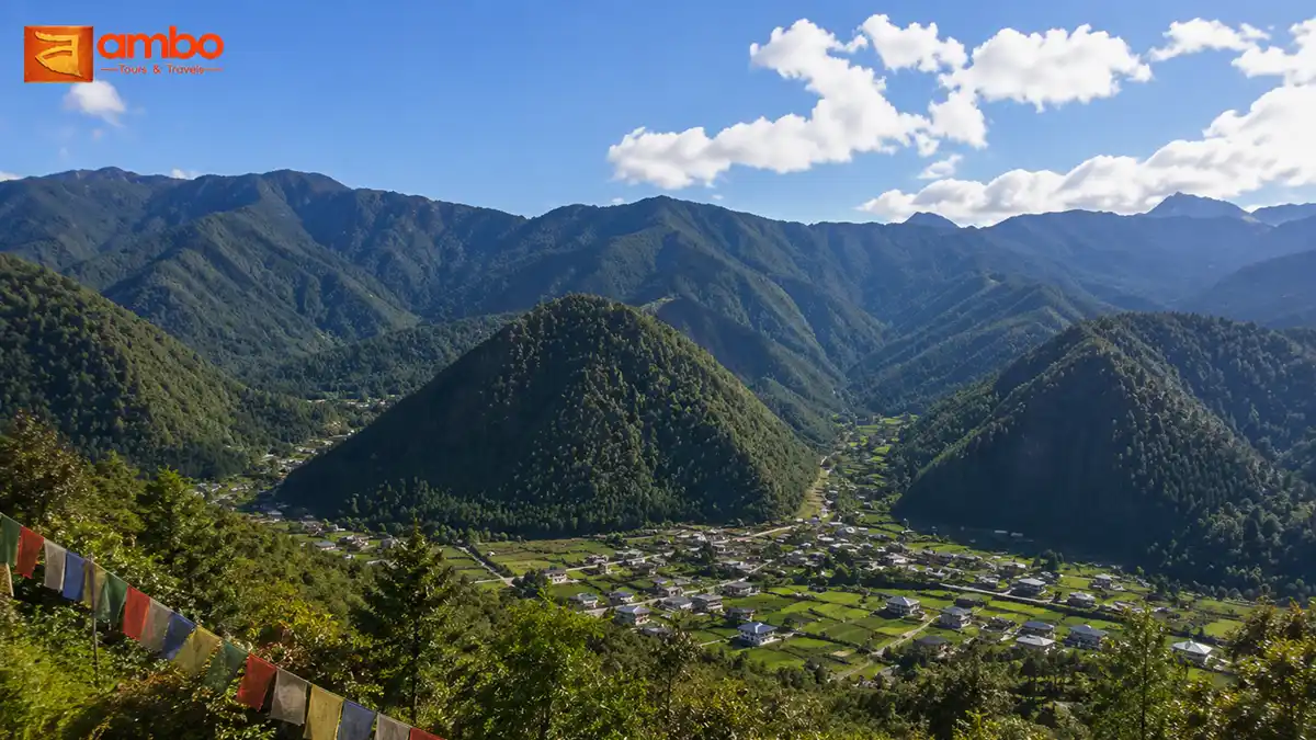
Meri Puensum — “the Three Brothers” — are three hills of near-identical height rising from the floor of Haa Valley, standing so close together they’re often described as looking like three heaps of flour poured side by side. They’ve never been just scenery. In local belief, each hill is the physical seat of a Bodhisattva, and together they form one of the most quietly revered landmarks in western Bhutan. The hike that circles and climbs among them is a full, demanding day on the trail — and one of the richest hikes in the country for anyone drawn to the layered mythology behind Bhutan’s landscape.
The Legend: Rigsum Goenpo, the Three Protectors
Meri Puensum is Bhutan’s local expression of a concept found across the Himalayan Buddhist world: Rigsum Goenpo, or the “Protectors of the Three Realms.” The three hills are each identified with one of three great Bodhisattvas:
- Jampelyang (Manjushri) — the Bodhisattva of Wisdom
- Chenrezig (Avalokiteshvara) — the Bodhisattva of Compassion
- Chana Dorji (Vajrapani) — the Bodhisattva of Power
Together, this trinity represents the complete set of qualities needed to protect and uphold the Buddhist teachings — wisdom to understand them, compassion to apply them, and power to defend them. You’ll find the same triad depicted side by side in temple murals and thangkas all over Bhutan, but Haa Valley is one of the few places in the country where the three Bodhisattvas are said to be physically present in the land itself, watching over the valley below.
Locals describe the three hills as brothers — equal in stature, standing close but never touching, a detail people in Haa will point out deliberately, as if the hills themselves are demonstrating a kind of sacred restraint. The valley’s guardian deity, Ap Chhundu, is also closely associated with this landscape, and several small shrines dedicated to him sit at the base of the hills.
Where the Hike Begins and How It Runs
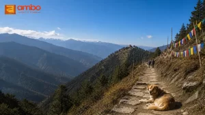
The Meri Puensum trail starts near Dumcho village (sometimes reached via the small settlement of Paeso), on the upper side of Haa Valley, and finishes at a suspension bridge near Haa town itself — meaning this is a point-to-point hike, not a there-and-back walk. Most of the elevation gain comes in the first stretch: expect a steady four-to-five-hour climb before you reach the first of several resting canopies along the route, at roughly 3,770 metres.
The trail was inaugurated to commemorate the 60th birth anniversary of His Majesty the Fourth King, Jigme Singye Wangchuck, and Haa Dzongkhag has maintained it since — including five wooden bridges, three designated resting areas, and four canopy shelters spaced along the route. The upper section, protected as part of Esu and Katsho Gewog since 2016, is genuinely wild: expect wildflowers, mushrooms, birdlife, and long stretches without another soul on the trail.
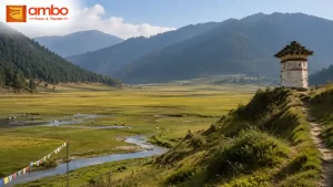
Near the high point, a stone stupa at Talela (about 3,600m) marks a trail junction — one path continues toward Nub Tshonapa, a much longer route, while the main Meri Puensum trail bends back down toward Haa valley. From here it’s a two-hour-plus descent through forest and past streams to the village opposite Gongzim Ugyen Dorji Central School, and finally the suspension bridge that marks the end of the hike.
What You’ll See
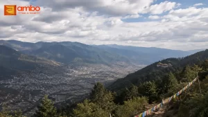
The reward for the climb is one of the widest panoramas in western Bhutan. From the upper canopy, on a clear day, you can pick out Mount Jomolhari — one of Bhutan’s most sacred peaks — along with Jichu Drakey, Tsherimgang, Jowo Drakey, and the Dagala range in the distance. Below, Haa Valley spreads out in full, with the three brother hills themselves forming the foreground of the view. Few hikes in Bhutan put you this close to a named 7,000m Himalayan peak on what is technically a single-day trek.
The Temples in Their Shadow: Lhakhang Karpo and Lhakhang Nagpo
At the foot of Meri Puensum sit two of Bhutan’s oldest and most storied temples: Lhakhang Karpo, the White Temple, and Lhakhang Nagpo, the Black Temple. Both are said to date to the 7th century, founded during the same wave of temple-building attributed to the Tibetan king Songtsen Gampo, who — according to legend — built 108 temples across the Himalayan region in a single day to pin down a demoness whose body was said to sprawl across the land. Lhakhang Karpo and Lhakhang Nagpo are counted among that original network.
Lhakhang Karpo, painted white, is associated with peaceful deities and is traditionally the more actively used of the two for everyday worship. Lhakhang Nagpo, painted black, is linked to wrathful protector deities — the fiercer, more guarded aspect of the same protective cosmology that Meri Puensum itself represents. The two temples, standing a short walk apart in the shadow of the three brother hills, are also the traditional site of the Haa Tshechu, the valley’s most important annual festival, when the temples and the surrounding fields fill with masked dancers and pilgrims from across the region.
Visiting Lhakhang Karpo and Lhakhang Nagpo isn’t part of the Meri Puensum trail itself, but both sit close enough to the trailhead area that combining a temple visit with the hike — either before setting off or after finishing at the suspension bridge — is easy to arrange and gives the day a completeness that the hike alone doesn’t quite deliver.
Practical Details
- Difficulty: Hard — a full-day hike with a sustained climb of four to five hours before the descent begins.
- Distance: Approximately 8–11km depending on the exact route taken.
- Best season: Spring and autumn, for the clearest views of Jomolhari and the surrounding ranges; the upper trail can be exposed and cold outside these windows.
- Altitude note: The high point sits close to 3,770m — some hikers feel the altitude on the final push, so a steady pace and adequate acclimatization from earlier days in Bhutan is worth planning for.
- Guide: A licensed Bhutanese guide is mandatory for all hikes in Bhutan, and this trail in particular has confusing early sections where hiker-made shortcuts diverge from the paved original route.
- What to bring: Sturdy hiking boots, layered clothing (temperature swings significantly between the valley floor and the high point), sufficient water, and a camera — the Jomolhari viewpoint is genuinely one of the best in the region.
Frequently Asked Questions
What does Meri Puensum mean?
Meri Puensum means “the Three Brothers” and refers to three hills of near-equal height in Haa Valley, each believed to be the seat of one of the three great Bodhisattvas: Manjushri, Avalokiteshvara, and Vajrapani.
How long does the Meri Puensum hike take?
The full hike takes a whole day — roughly four to five hours of climbing to the high point near 3,770 metres, followed by a two-to-three-hour descent to the suspension bridge near Haa town.
Is the Meri Puensum hike difficult?
Yes, it’s rated hard. The sustained uphill climb and altitude near 3,770 metres make it more demanding than most half-day hikes in the region, though no technical climbing is involved.
What can you see from the top of the Meri Puensum trail?
On a clear day, hikers can see Mount Jomolhari along with Jichu Drakey, Tsherimgang, Jowo Drakey, and the Dagala mountain range, in addition to sweeping views over Haa Valley itself.
Are Lhakhang Karpo and Lhakhang Nagpo part of the hike?
They sit at the base of the Meri Puensum hills but are not directly on the main hiking trail. Most visitors combine a visit to both 7th-century temples with the hike, either before starting or after finishing at the suspension bridge.
Explore more of Bhutan’s hidden trails in our complete guide to Bhutan’s best hiking trails and hidden monastery walks.
Ready to Experience Bhutan?
Tell us your dates and interests — our team in Thimphu will craft a personalised itinerary within 24 hours, at no cost.